|
Where: The Old Man of Coniston hike from
Coniston in the Lake District of England
When: July 2014
Weather: Really Hot
Height: 2,634ft / 803m
The Old Man of Coniston, or Coniston Old
Man, is the highest mountain for hiking in
the south side of the Lake District in
Cumbria in England.
The hike to the Mountain can start right
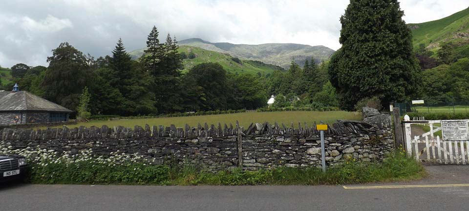
from the centre of the village. The image
below is from the north end of the Main
Street, where many hikers park, free of
charge, next to the dyke there. The centre of
Coniston is about 150ft above sea level.
There is also a large car park up on the
hillside, up Station Road, at about 650ft
above sea level. Road Map
Large Image .
Coniston Page
|
|
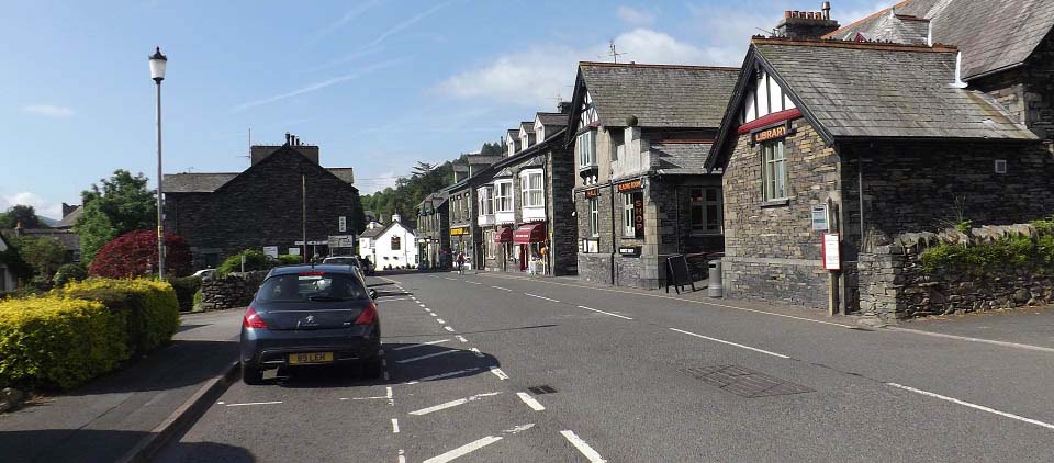
The image below is from the north end of
Coniston Main Street. The parking on the left
here is only for an hour or two. The parking
across the road is free all day, but there is
only room for about 8 cars.
The hiking trail starts from about 200
yards down this street, just past the white
building down there.
|
|
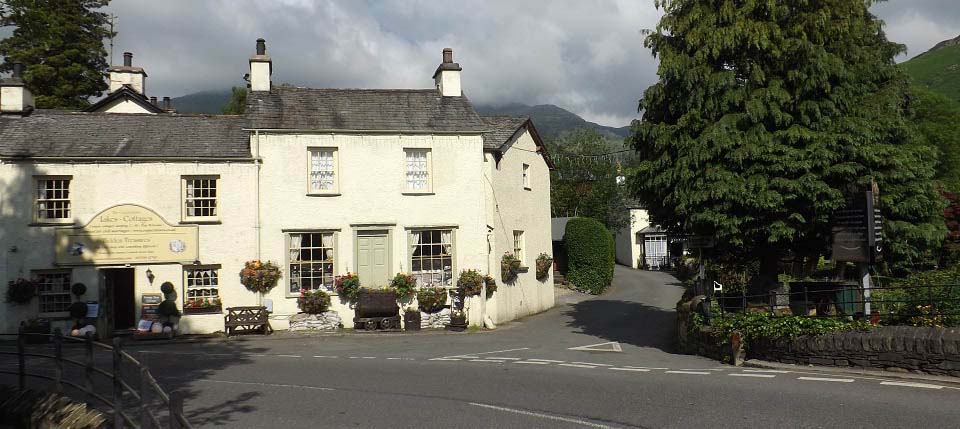
The image below is of the Lakes Cottages
in the centre of Coniston, with the road here
leading up to the Sun Inn.
|
|
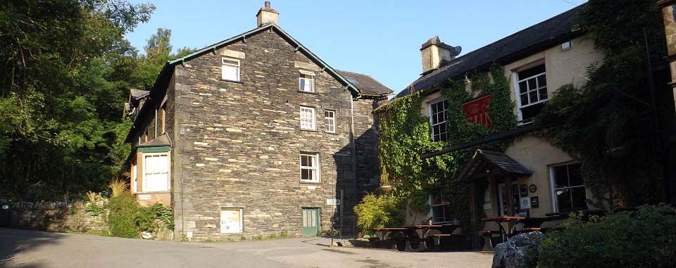
The image below is of the Sun Inn about
two hundred yards up from Coniston Main
Street. There is a sign on the building there
showing the walking trail round to the right
past the Inn. That trail leads up through
woodland to a bridge. The trail up to the
mountain starts at the bridge.
If you drive up to the top car park,
follow the road to the left here, then
straight up a steep hill via the single lane
Station Road. It is so steep, it may be first
gear for a while.
|
|
The image below is of the car park up on
the side of the mountain at about 650ft above
sea level. This is a large car park, so there
should always be spaces.
The main tourist trail to the Old Man of
Coniston is straight along the bottom of the
mountain there for about one mile. This part
of the trail gains little height until it
joins the main tourist trail running up from
Coniston .
|
|
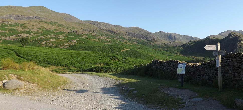
The image below is of where the top car
park trail meets the hiking trail leading up
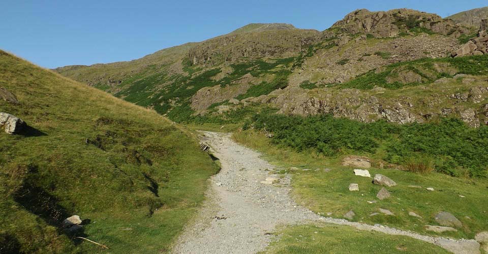
from Coniston centre. Follow the main trail
here as it winds its way steadily up the
mountain, avoiding any smaller trails leading
off to the left.
|
|
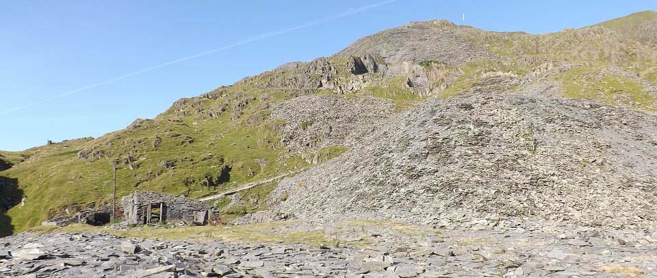
The image below is of one of two quarries
you pass on the main trail up. You can just
see the summit cairn from here, where the
white line is.
The next step of the trail is up to the
Low Water tarn at about 1,800ft.
|
|
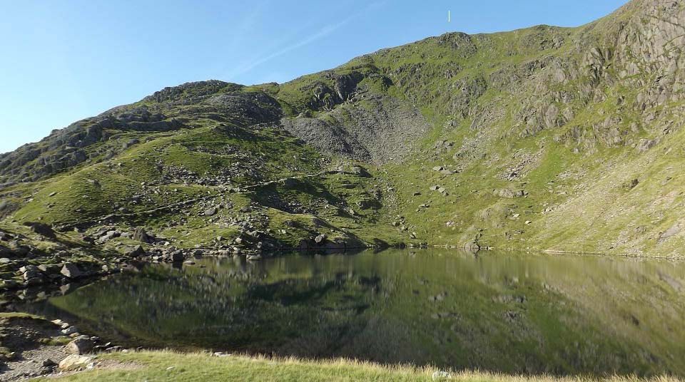
The image below is across Low Water with
the summit cairn up there below the white
line. This is the steepest section with the
trail winding up to the left, then up the
east side, about 830ft to go.
Large
Image
|
|
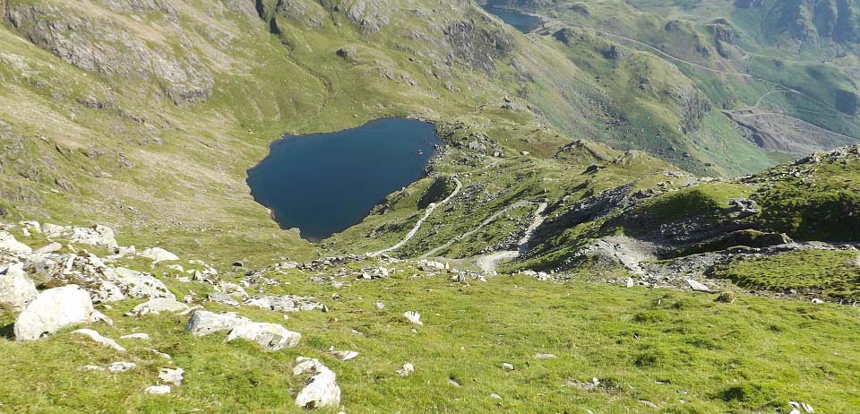
The image below is looking down from close
to the top at Low Water. This image gives a
good view of how steep the top section
is.
|
|
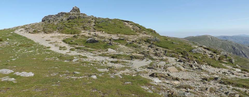
The image below is of the summit cairn on
top of the Old Man of Coniston.
|
|
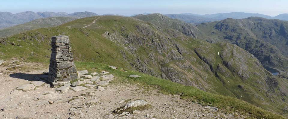
The image below is of the Trig Point on
top of the 2,634ft Old Man of Coniston,
looking north to the 2,611ft Brim Fell. I
decided to take the easy trek across to Brim
Fell, then down a grassy path to Low Water,
as shown by the white lines below.
This is an easy route back down in clear
weather, but best follow the main path back
down if visibility is poor. You will also see
a number of other trails back down, over
other mountains if visibility is good.
|
|
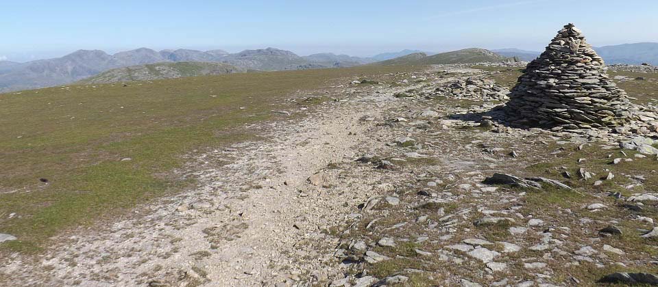
The image below is of the cairn on the
2,611ft Brim Fell looking north. There are
more mountains straight out that can be hiked
for the really fit hikers, with good trails
between them.
I started back down just past the cairn to
the right, then followed the grassy trail
from there back down.
There is also a trail over to the left,
west, to the 2,552 Dow Crag range that takes
you back to the top car park from the west.
Dow Crag Large
Image.
|
|
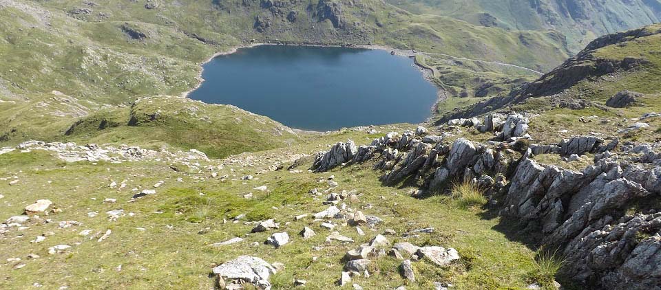
The image below is heading down the east
side of Brim Fell looking at Levers Water.
The trail back down to Low Water leads round
to the right just below this point.
You will see some other routes down from
here if the weather is clear.
|
|
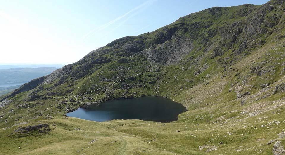
The image below is of the grassy path back
down to Low Water. This was a fast and scenic
route back down. Maybe best to avoid this
route in cloud though as there are a few
rocky drops in places.
That is the main trail at the far side of
Low Water running back down to Coniston and
the top car park.
|
|
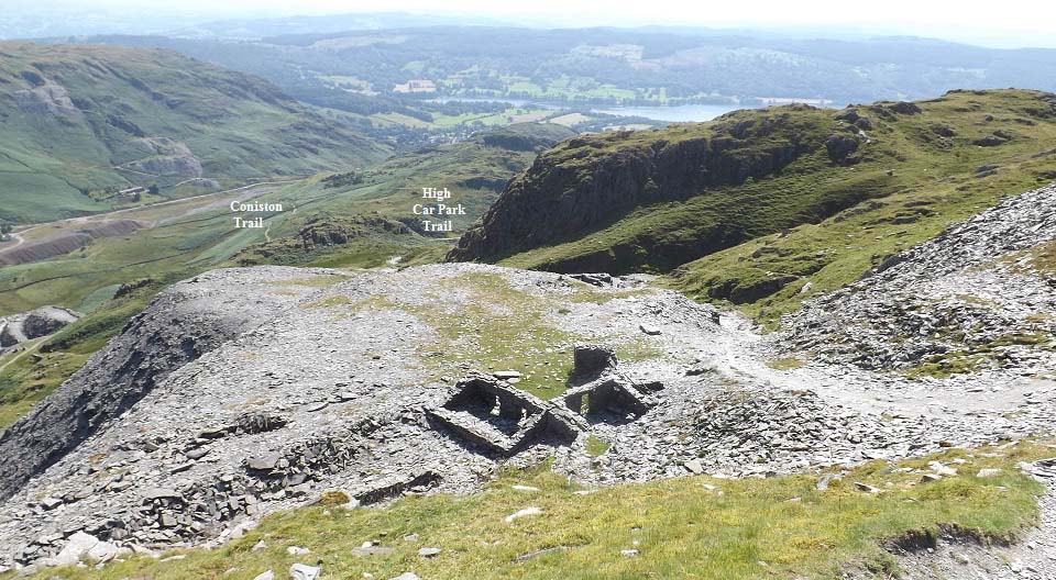
The image below from passing the two slate
mines on the main trail back down. You can
see the trail leading down into coniston
there, and the trail leading to the right to
the top car park.
|
|
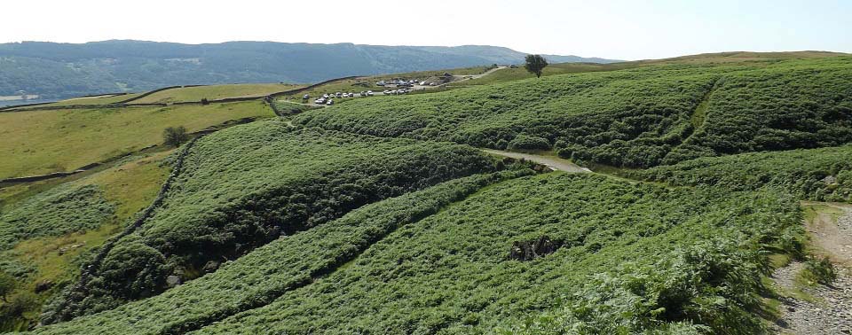
The image below is from the main trail
leading back to the top car park. It was in
the 80s by this time, so was glad I had set
out early in the morning and got to the top
before it got too warm.
|
|
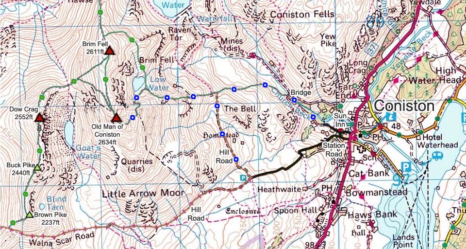
The Old Man of Coniston Map below shows
the main routes onto the mountains.
This was a real nice hike with great
views, and a number of interesting routes
that can be taken with a few visits.
The route back down over Dow Crag looked
really interesting. Back down over Yew Pike
looked tough and eventful.
Make sure and take an Ordnance Survey Map
and Compass on these hikes, and know how to
use them, as in cloud, these mountains can be
deadly. In Winter, make sure you have
Crampons and an Ice Axe, and know how to use
them.
Large OS
Map
|
|
|
