|
Where: Todd Crag hike from Ambleside in
the Lake District of England
When: July 2014
Weather: Sunny
Height: 735ft / 224m
Todd Crag is on the west side of
Ambleside. This hill has great views over
Ambleside and Lake Windermere. There is a
direct hiking route from Ambleside centre
straight up the steep east route, and another
route via stepping stones and up from the
north. This tour goes up past the stepping
stones and back down the steep route.
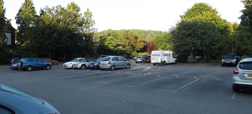
The image below is from the large car park
at the north side of Ambleside, looking west
to Todd Crag. This is a pay and display Car
Park, don't think there is any free parking
in Ambleside.
Leave this car park via the main entrance
onto Rydal Road, then follow the roadside
path north towards Rydal, Grasmere, and
Keswick for just under 1 mile.
Ambleside Road
Map
|
|
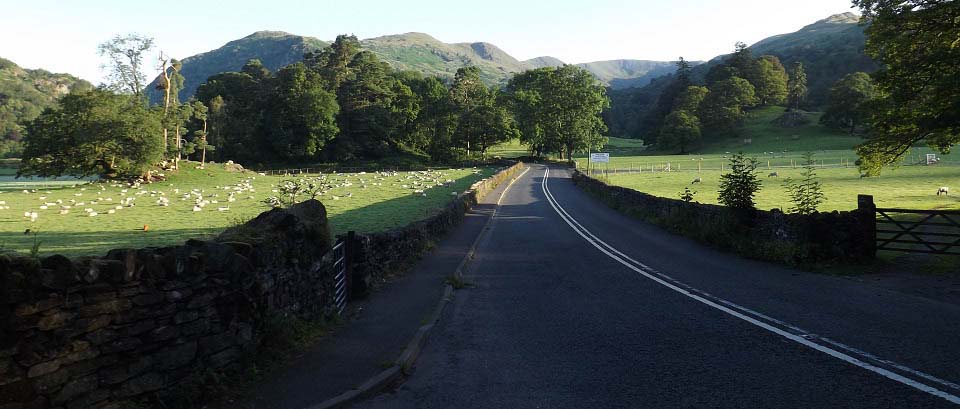
The image below is of Rydal Road about 1
mile north of Ambleside. The gates on the
left here lead to the stepping stones and
Todd Crag. There is a roadside path all the
way from Ambleside to here.
|
|
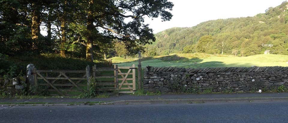
The image below is of the gates leading to
the stepping stones and Todd Crag. Make your
way across this field towards the Cottage,
where you will find the Stepping Stones.
|
|
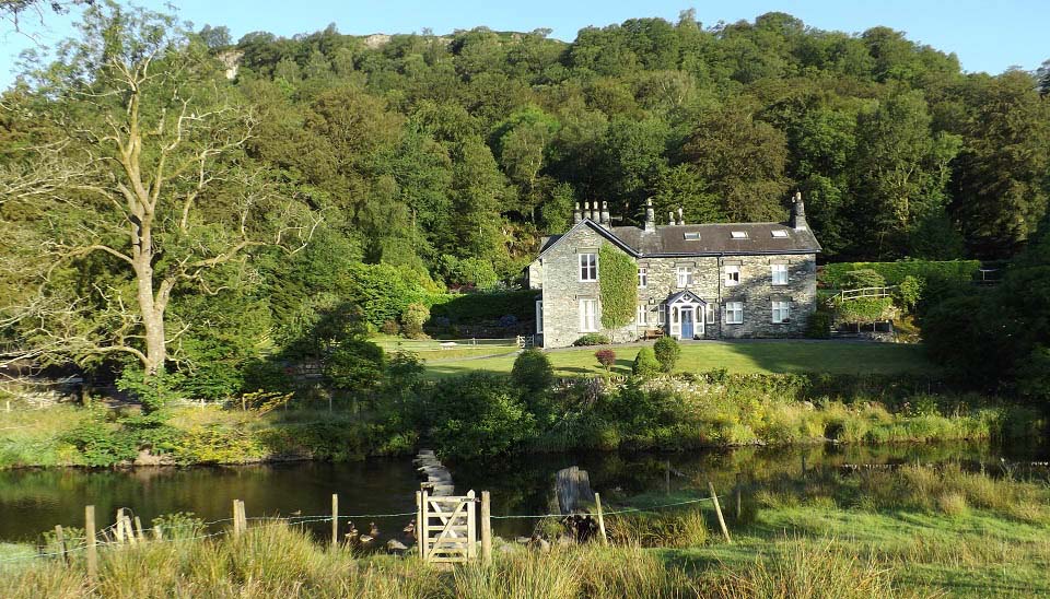
The image below is of the Stepping Stones
over the River Rothay. This is one of the top
photos in the Lake District.
After crossing the stones, follow the
single lane road named Under Loughrigg to the
left. Large
Image.
|
|
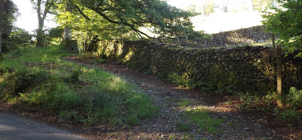
The image below is from Under Loughrigg
Road, about half of a mile along from the
stepping stones. You pass a woodland path
about half way that also runs up onto the
hills. This trail goes up through a field,
then a woodland path.
If you are just out for a level walk, you
can follow Under Loughrigg Road for about
another half mile to the bridge into
Ambleside centre.
|
|
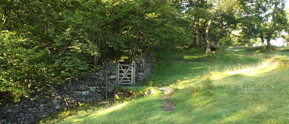
The image below is from the path up
through the field, with the hiking gate
leading to a scenic woodland path.
|
|
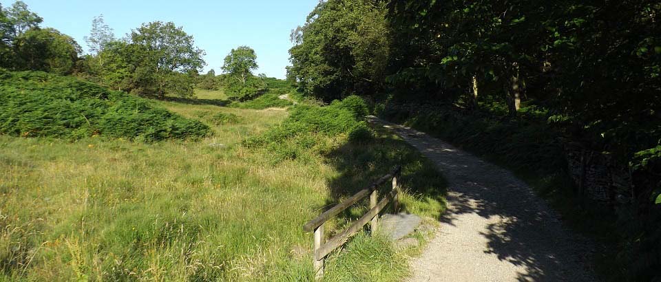
The image below is of the road at the top
of the woodland path. If you follow this road
to the left for about 300 yards, you will see
the steep trail to the top of Todd Crag.
The image below is heading up the road to
the right for the less steep, and more scenic
route to the top.
|
|
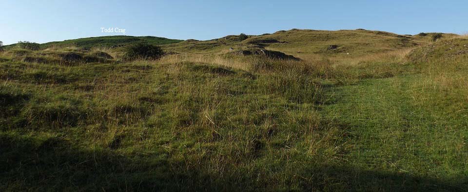
The image below is from just past a house
up on the hillside, looking up to Todd Crag.
There is a faint trail up here that leads to
a stone dyke with a gate.
|
|
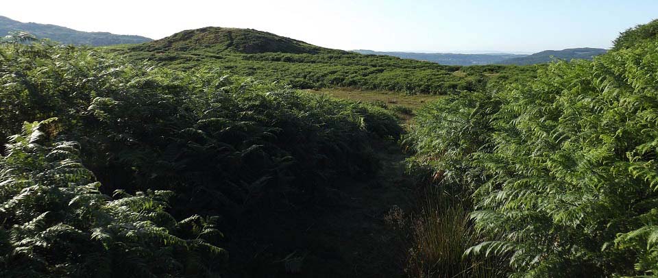
The image below is from just through the
gate at the stone dyke, looking to the first
of 3 peaks on Todd Crag.
There are a number of scenic paths up here
through deep ferns. If it has been raining,
the ferns will be wet, so you may need
waterproof trousers, as some ferns hang over
the paths.
|
|
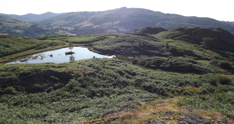
The image below is from the north peak
looking southeast to the other two peaks. Not
sure which one is the highest, so had to
visit them all.
The tarn here has seating by it. The paths
lead all over this area, with some
interesting routes to the tops over rocks.
Many 3,000ft mountains do not have as
interesting summits.
|
|
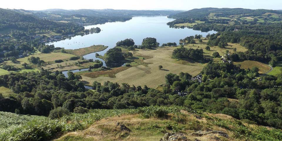
The image below is from the highest peak,
I think, looking down to Lake Windermere, and
Ambleside down to the left.
This has to be one of the best views in
the Lake District, and it is from under
1,000ft. Large
Image.
|
|
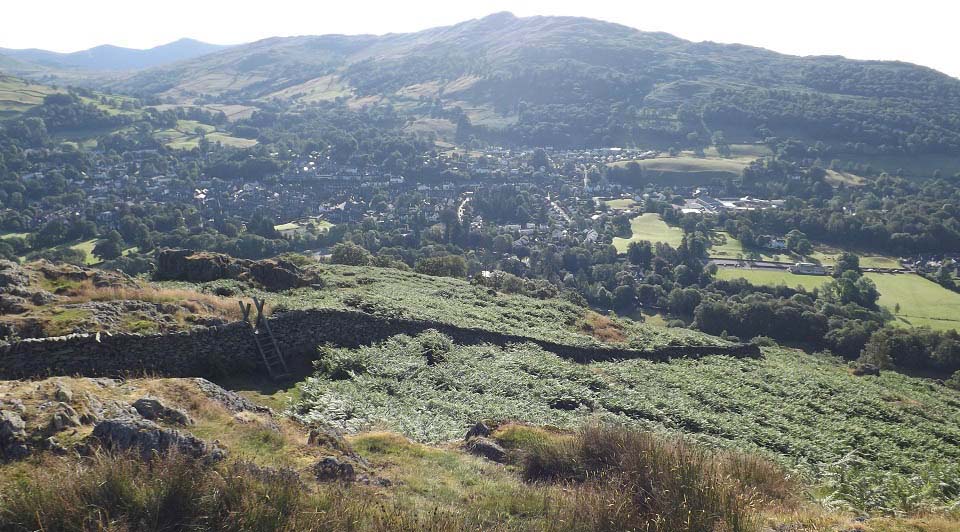
The image below is from one of the peaks
looking at the steep route down into
Ambleside by going over the style there.
That is the 1,581ft Wansfell Pike over to
the east of Ambleside, that is another good
hike.
To the northeast is the 2,864ft Fairfield
with a horseshoe loup containing 9 peaks.
Large Image to
Fairfield.
|
|
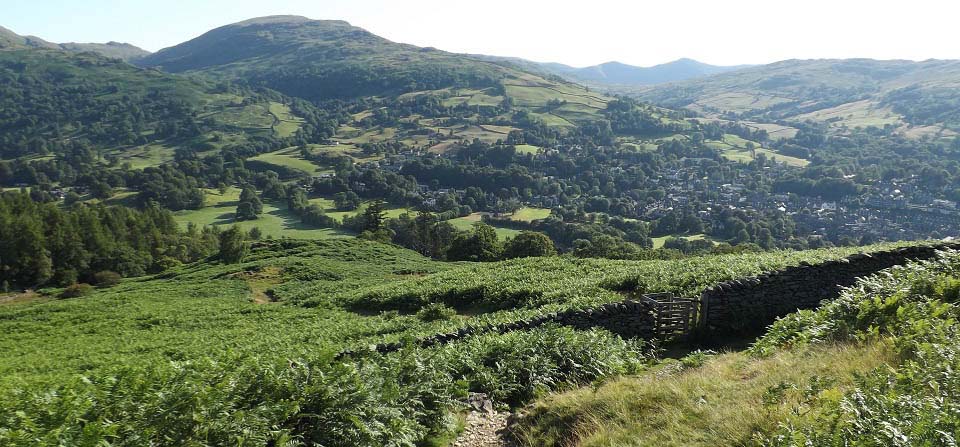
The image below is of the steep trail
leading down to Ambleside.
|
|
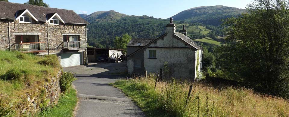
The image below is from where the steep
path down reaches the road. If you go left
along the road for about 300 yards, you will
get back to the woodland path and field trail
down to the stepping stones.
If you follow this road down past this
house, that is really steep, you go down to a
footbridge into Ambleside.
|
|
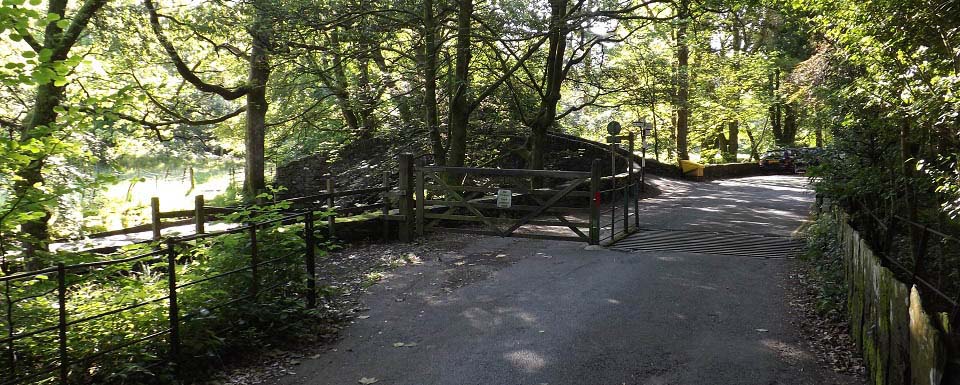
The image below is from the bottom of the
steep section of road, then walking to the
right towards Rothay Park Bridge.
The little Bridge here leads to Rothay
Park and the centre of Ambleside.
|
|
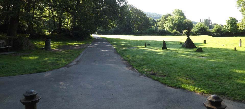
The image below is of the path leading
through Rothay Park to Ambleside centre. This
seems to be a popular park for fitness
training.
|
|
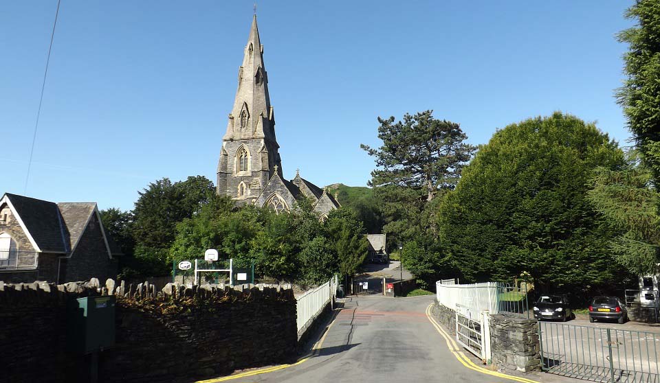
The image below is of St Mary's Church in
the centre of Ambleside by Rothay Park. That
is Todd Crag in the distance. If you are
hiking straight up the steep east route, this
is the road you will take out from Ambleside,
named Vicarage Road.
|
|
This was a scenic short hike with some
great views. I hike to look for good photos,
and they do not get much better than on this
hike.
|
|