|
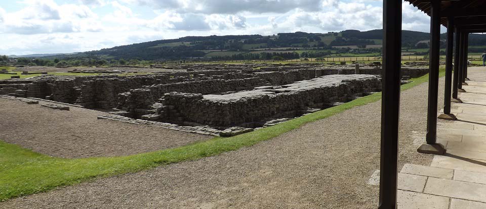
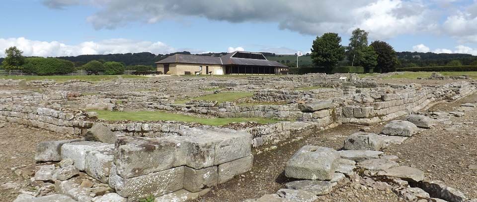
The image below is from the Roman
remains looking back at the visitor centre
and large car park.
|
|
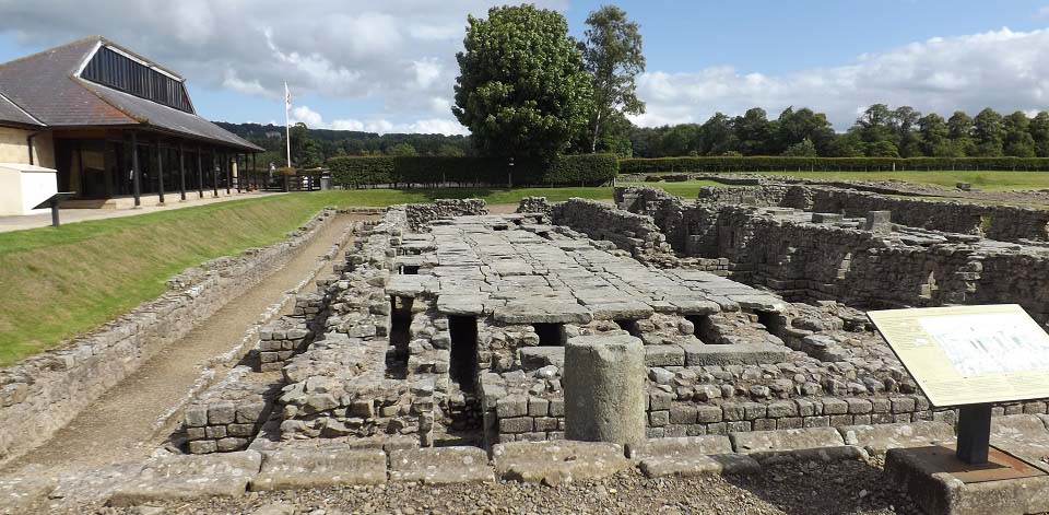
The image below is of the granaries with
an elevated floor of stone slabs. These are
the best preserved ruins of all the forts
along Hadrian's Wall with columbs still
remaining in places up to about 4 feet.
There are information boards around the
site explaining each area, roads, and the
buildings.
|
|
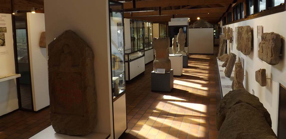
The image below is from the inside of
the museum. The museum has a good selection
of carved stone, statues, inscribed stones,
and Roman artifacts recovered from the
site.
|
|
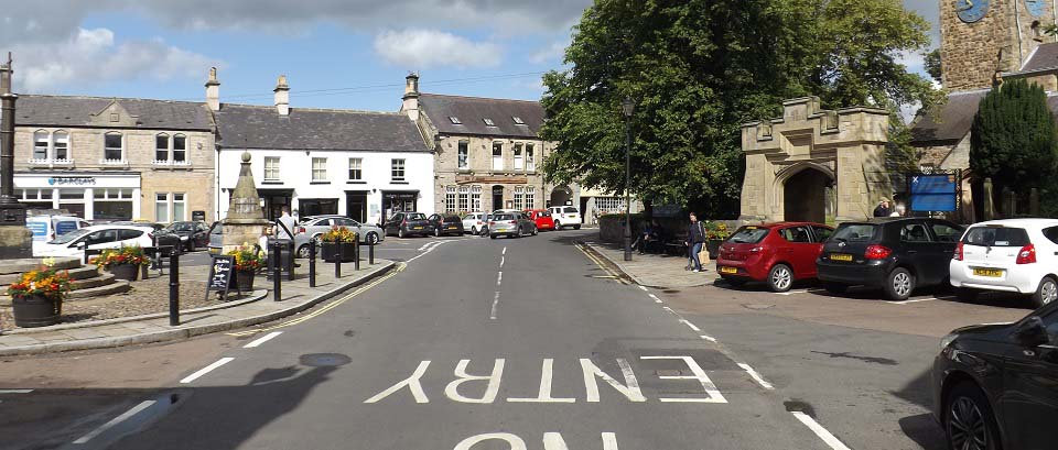
The image below is of the centre of
Corbridge Town. This is a pictureque small
town with three squares, the main square by
the church as seen below, a square at the
town hall, and one at the east side of the
town around the Angel Inn.
|
|
|