Fairfield Hike from Grasmere
|
|
Where: Fairfield Hike from Grasmere in the
Lake District of England
When: July 2014
Weather: Sunny
Height: 2,864ft / 873m
Fairfield is the highest mountain for
hiking by the town of Grasmere in the Lake
District of England.
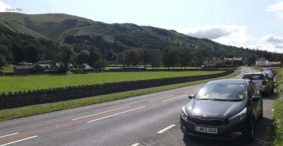
The image below is from just north of
Grasmere, at the large layby next to the A591
road that runs between Keswick, Grasmere,
Ambleside, and Windermere, with free parking
for many cars. There are also 3 large pay
parks in Grasmere village.
The main route up onto the mountains is up
the road a short walk south of the car park,
or up the road at the Swan Hotel further
on.
That is 2,007ft Heron Pike that is
normally the first mountain to be hiked on
the route to Fairfield.
Grasmere Road
Map
|
|
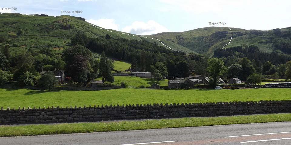
The image below is from the same car park
looking to Heron Pike, Stone Arthur and the
2,523ft Great Rig. The 2,864ft Fairfield is
to the left of Great Rig. You cannot really
see Fairfield from here.
The paths to Heron Pike and Stone Arthur
start from the same place, so many hikers go
up Heron Pike, go north to Great Rig, north
to Fairfield, then return to Great Rig, then
back down over Stone Arthur.
|
|
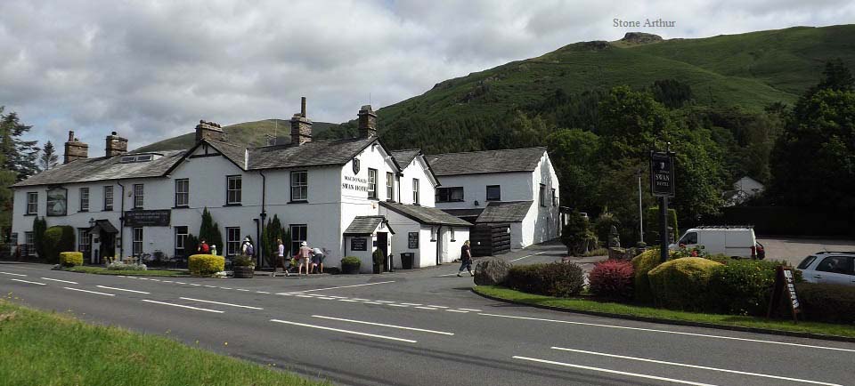
The image below is of the Swan Hotel
with the road there also leading up to the
mountain trail. The car park here is the
hotels, so should only be used if you are
using the hotel for lunch and drinks after
the hike.
|
|
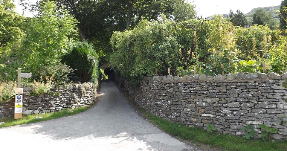
The image below is of the narrow road just
up behind the Swan Hotel that leads up to the
mountains. This path is well marked, so is
easy found from the road up from the free car
park, or from the Swan Hotel.
|
|
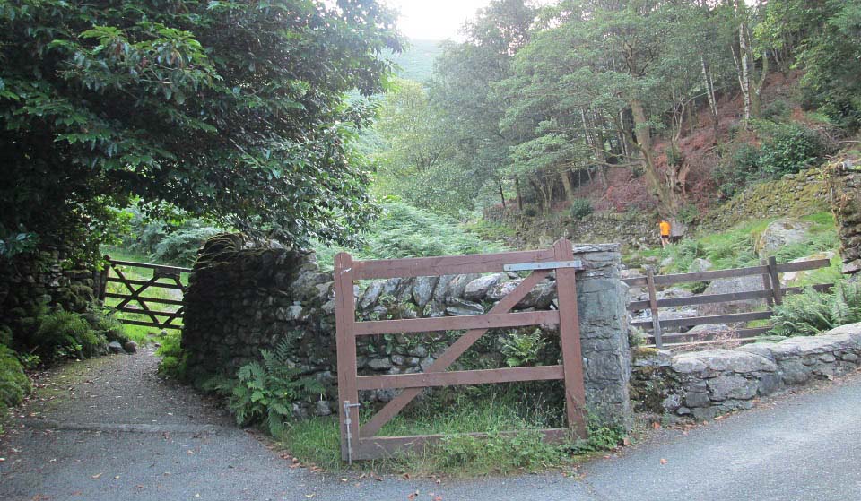
The image below is from the top of the
narrow road looking at the gate onto the
mountain range. The trail to the right leads
up to Heron Pike. The trail to the left leads
up to Stone Arthur and Great Rig.
|
|
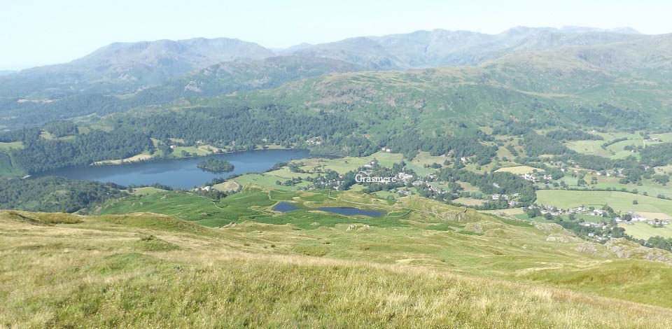
The image below is from close to the top
of Heron Pike, looking back down over Alcock
Tarn, Grasmere, and Grasmere Lake.
That is the Old Man of Coniston out to the
left, and the Langdale Pikes out to the
right. Large
Image
|
|
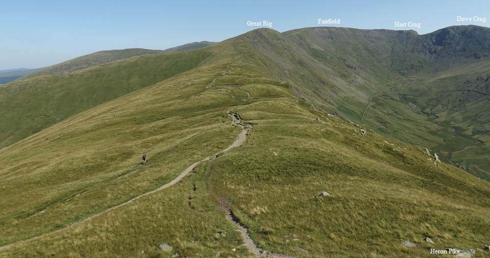
The image below from Heron Pike looking
north to Great Rig and Fairfield. This is a
fairly straight forward hike along the top.
Hart Crag and Dove Crag are more rocky if you
venture out there.
|
|
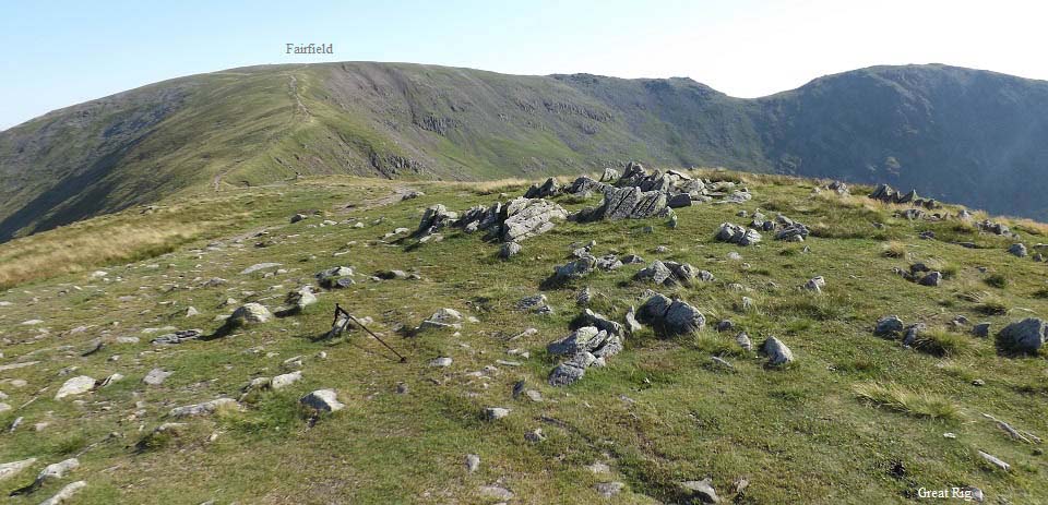
The image below is from Great Rig looking
north to Fairfield. This is a nice steady
hike from here to the top.
|
|
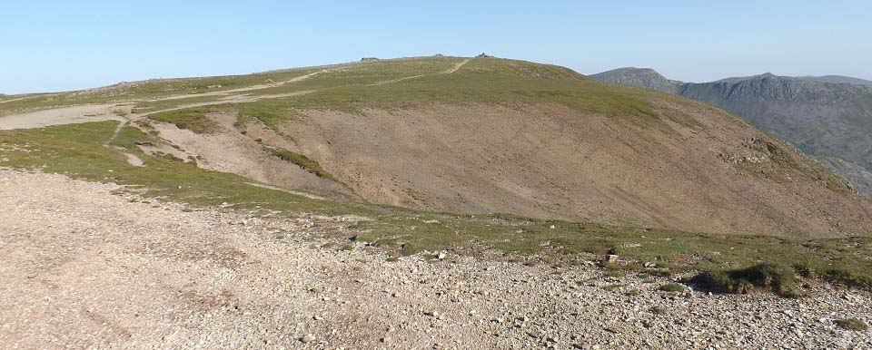
The image below is of the top of Fairfield
Mountain. This is the highest point on this
range.
The 3,117ft Helvellyn can be seen in the
distance. There is a big drop and two other
mountains to cross if you hike out to there.
Large Image
out to Helvellyn from the North Side of
Fairfield.
To the right in this image below is the
2,759ft St Sunday Crag that leads down into
Patterdale. You have to cross the dangerous
Cofa Pike to get onto that mountain though.
Large Image of Cofa
Pike.
|
|
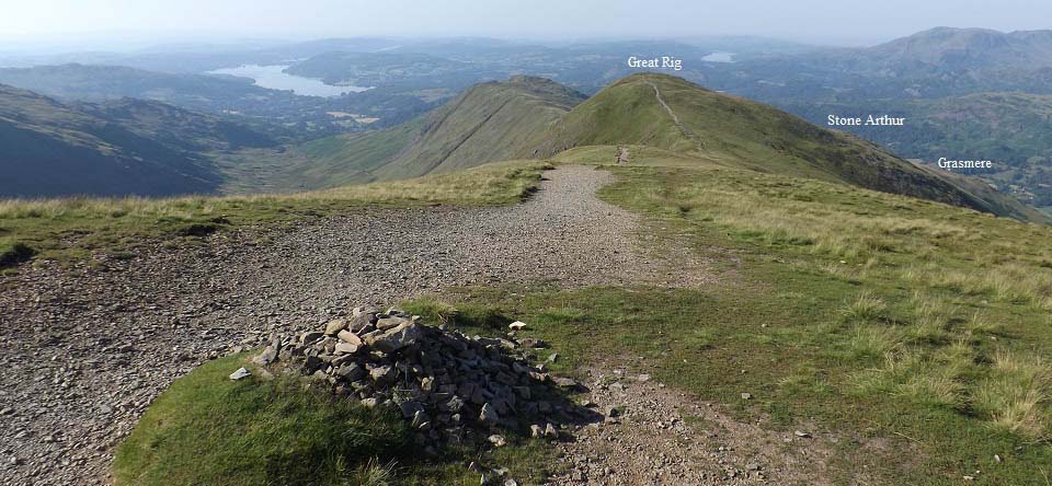
The image below is of the route back down
over Great Rig and Stone Arthur to
Grasmere.
|
|
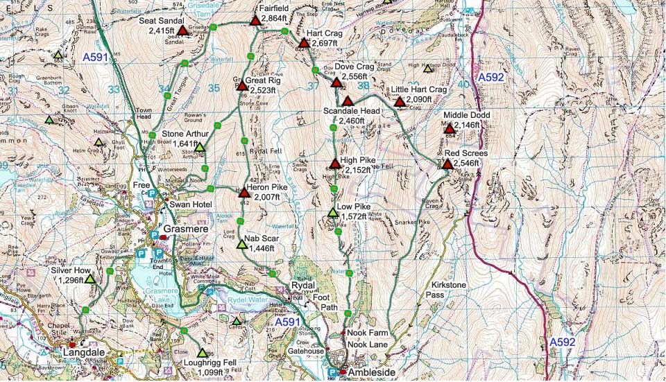
The Fairfield Map below shows the main
routes onto the mountains from Grasmere,
Ambleside and Rydal.
Doing the loup round the horseshoe and
over High Pike is normally done from
Ambleside.
Make sure and take an Ordnance Survey Map
and Compass on these hikes, and know how to
use them, as in cloud, these mountains can be
deadly. In Winter, make sure you have
Crampons and an Ice Axe, and know how to use
them.
Fairfield Horseshoe
from Ambleside Photo Tour.
|
|
|
