|
Information and images of the 1 mile
stretch of Hadrian's Wall between the
village of Gilsland and Birdoswald Roman Fort.
This is one of the best preserved
sections of the wall with a car park at
either end.
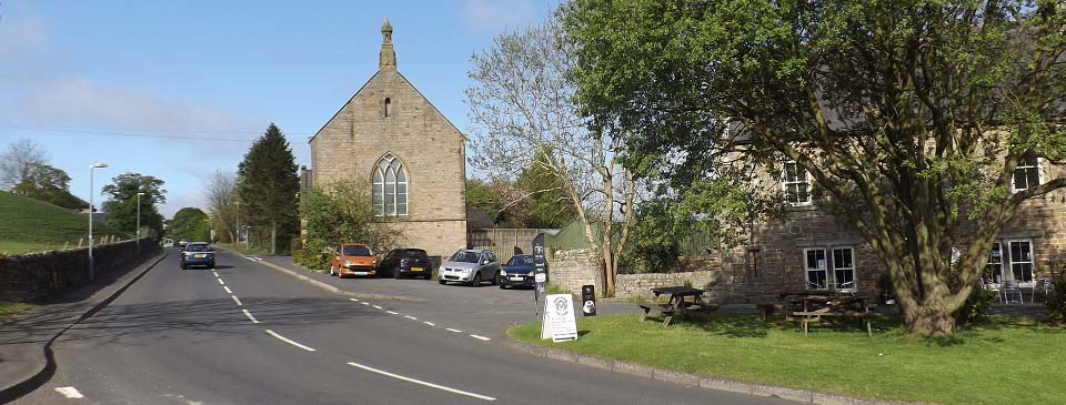
The image below is of the church and
cafe in Gilsland centre, with the road here
leading up to Gilsland School, about 300
yards. There is a car park by the school
that is free of charge.
Gilsland
Map
|
|
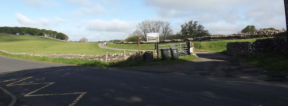
The image below is from next to the car
park by Gilsland School, looking across the
road to Hadrian's Wall as it runs west
towards Birdoswald Roman Fort.
|
|
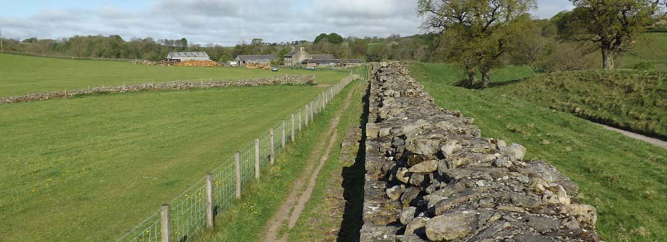
The image below is of Hadrian's Wall as
it passes a farm about quarter of a mile
out from Gilsland.
It is strange the wall is so well
preserved here, as it is next to a village
and farm. Most of the wall by villages,
towns or farms, has been dismantled to be
used for building houses, barns and
churches.
|
|
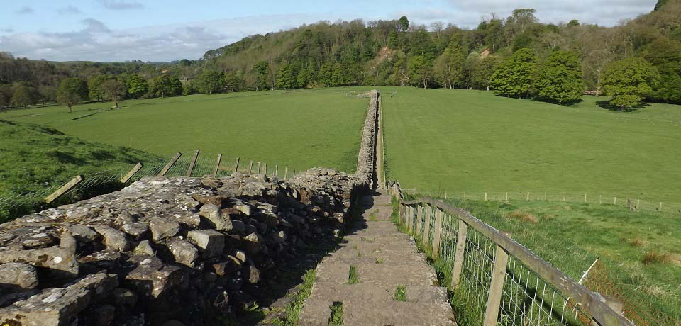
The image below is from just past the
farm. There are the remains of a turret
down there, and a footbridge across the
river. A winding path then leads up through
the trees to another turret on top of the
hill, in line with the wall.
|
|
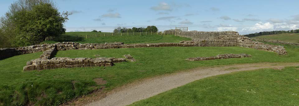
The image below is of the turret on top
of the hill, looking west to Birdoswald
Roman Fort, at the trees in the
distance.
|
|
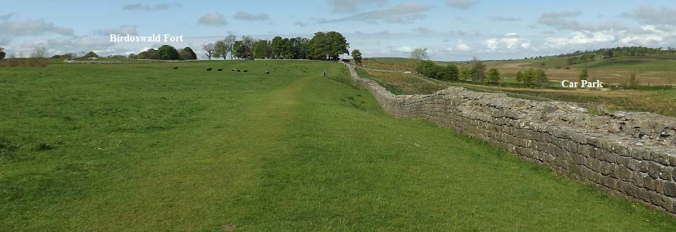
The image below is of Hadrian's Wall
running to Birdoswald Roman Fort on the
left. The main car park for Birdoswald is
down on the right. There is another small
car park at the fort for anyone with
disabilities. The car park here is a pay
and display.
There are a number of Roman Symbols
carved into this section of the wall, I
found one.
|
|
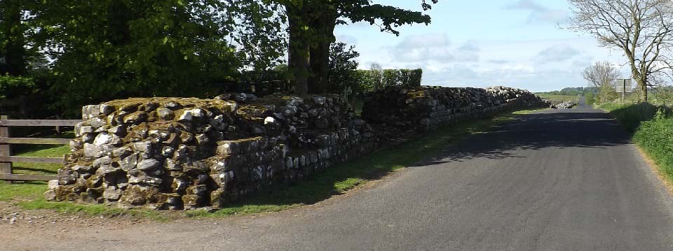
The image below is of Hadrian's Wall
running past Birdoswald Roman Fort towards
the very small village of Banks,
3 miles west. The wall ends a few hundred
yards along there, the last good section of
the wall in the west.
The Hadrian's Wall Path runs alongside
this road most of the way, and on the road
for short sections. There are the remains
of 3 turrets or signal towers along this
stretch.
|
|
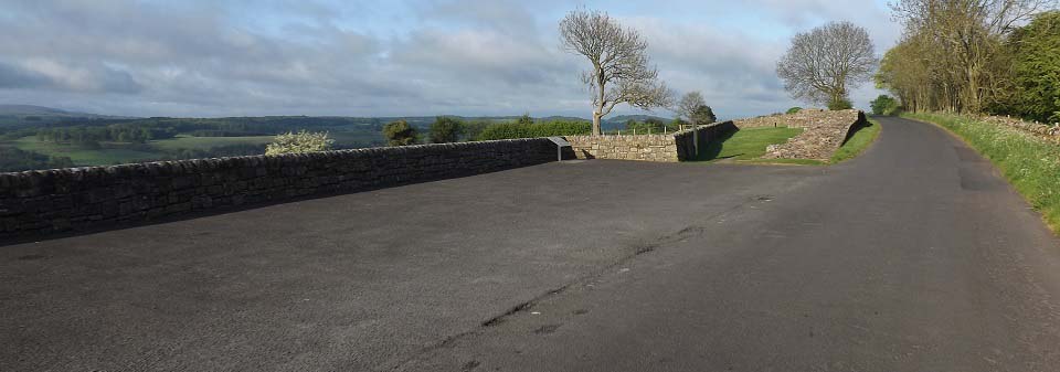
The image below is of Banks East Turret,
about 3 miles west of Birdoswald. This is a
good viewing area with the Pennine hills to
the south.
|
|
|