|
Carlisle is situated in northwest England,
largest town in Cumbria, about 10 miles south
of the Scottish border.
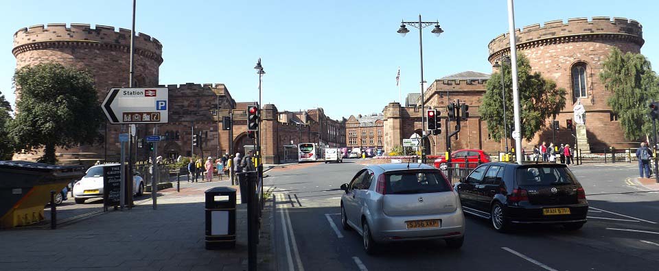
The image below is of the Main Gate into
the old part of the city, one of the top
photos in the city. The wall around the old
city is about 1 and a half miles long. This
is the south entrance, with the north
entrance being at Carlisle Castle. Most of
the city attractions and shops are inside the
walls.
The towers here are part of the Citadel
built in 1810, used for courts and a prison.
The earlier entrance at this spot was named
Botcher Gate, or English Gate. One of the
towers is now open to the public.
Carlisle Train Station is just into the
left in the image below. There are a number
of restaurants and bar diners around the
train station and down this street named
Botchergate.
|
|
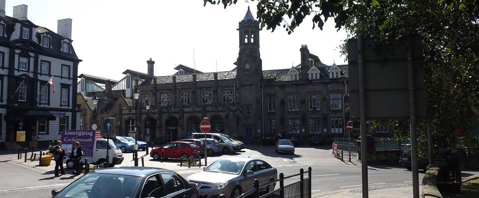
The image below is of Carlisle Train
Station situated next to the Citadel,
sometimes referred to as Carlisle Citadel
Station. The station is on the Main West
Coast Line, 102 miles south of Glasgow, 299
miles north of London. The line between
London and Glasgow was fully completed in
1849.
The station also connects to Newcastle on
the east coast of England, about 60 miles
east, opening in 1851 with stops at Haltwhistle and Hexham that are
close to many of the Hadrian's
Wall attractions.
|
|
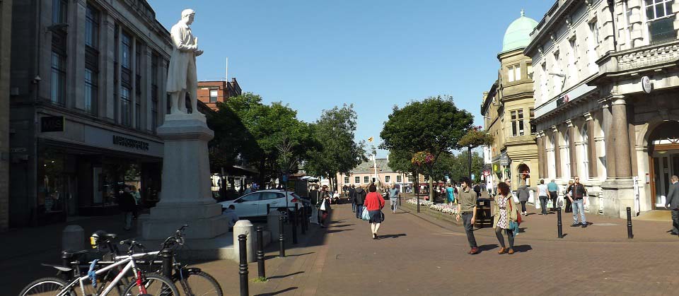
The image below is of English Street, that
runs from the Citadel and Train Station north
to the Market Square, centre of Carlisle. The
statue is of James Steel, Mayor of Carlisle
1845/46.
|
|
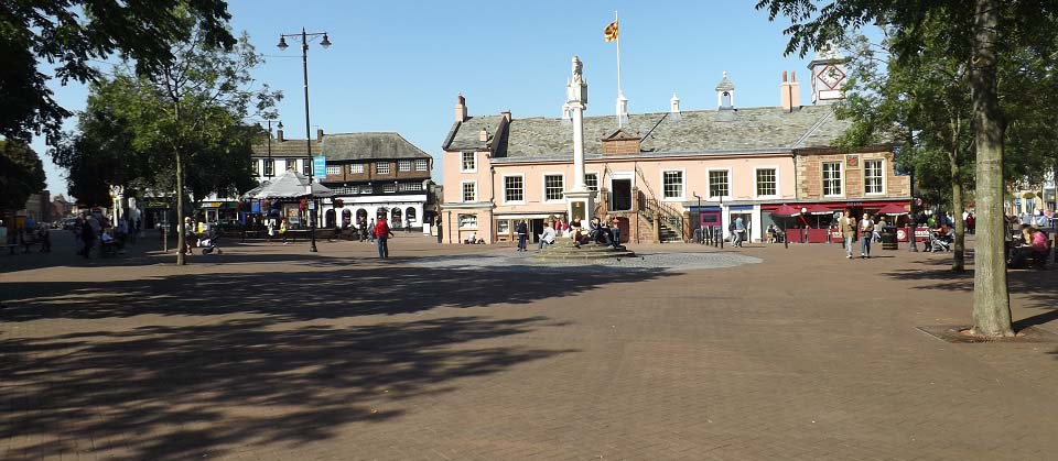
The image below is of Carlisle Market
Square, or Green Market, centre of Carlisle.
The main building here is the Old Town Hall
from the 1600s / 1700s. The Tourist
Information Centre is in the Town Hall first
floor.
The white building on the left is the
Guildhall and Museum.
There is a good selection of shops and
eateries around the square, including the
large Lanes Shopping
Centre. This is by far the largest
shopping area in Cumbria.
|
|
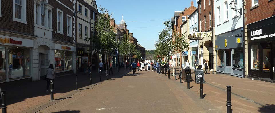
The image below is of Scotch Street
leading off the Market Square, one of a few
good shopping streets.
|
|
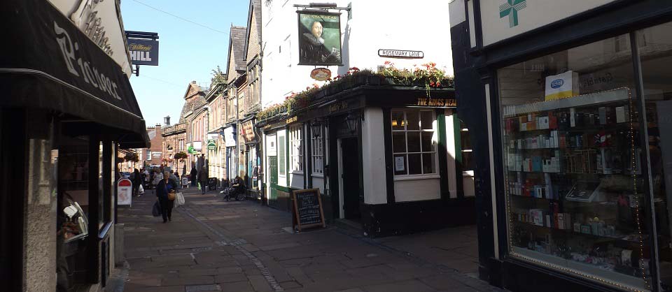
The image below is of Fisher Street
leading off the Market Square. One of a few
old narrow streets with small shops,
restaurants and pubs. The pub here is the
Kings Head.
|
|
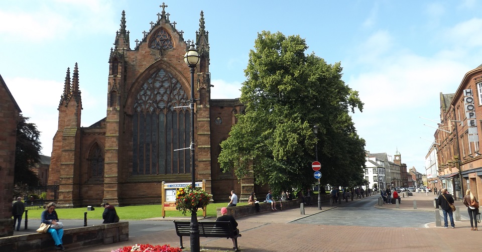
The image below is of Castle Street, also
leading off the Market Square, with Carlisle
Cathedral on the left. Carlisle Castle can be
seen in the distance.
|
|
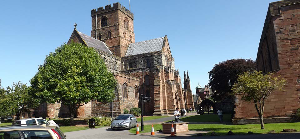
The image below is of Carlisle Cathedral
from the northwest. The gates at the north
side of the cathedral buildings lead to Abbey
Street, that also leads to Carlisle
Castle.
Carlisle Cathedral Information &
Photo Page.
|
|
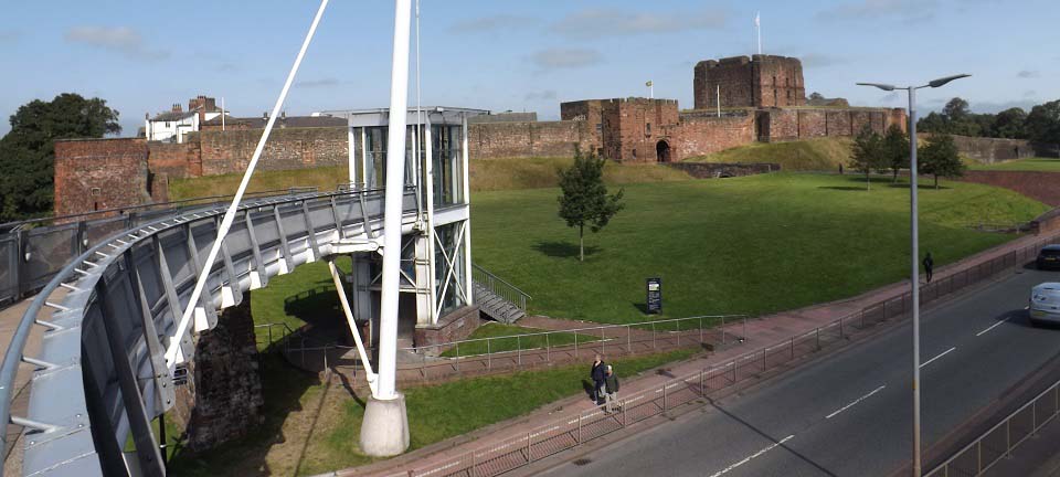
The image below is from the bridge
crossing the road to Carlisle Castle. The
earliest parts of the castle are from 1122.
The wall around Old Carlisle was built from
the same time. The castle was involved in the
wars with Scotland from the 1100s to
1700s.
Carlisle Castle Photo
Page and City History.
|
|
|