Walltown Quarry & Hadrian's
Wall
|
RS
Home
|
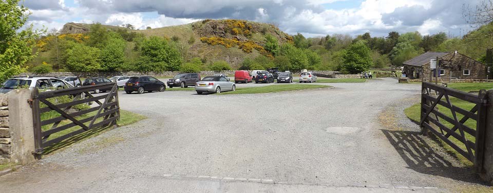
The image below is of Walltown Quarry by
the Roman Army Museum, by the village of
Greenhead, 19 miles east of
Carlisle, 40 miles west of
Newcastle just off the B6318
road.
The bus stop for the local Hadrian's
Wall Bus is on
the right, and visitor centre down on the
right. Hadrian's Wall runs over the high
point up on the left.
The Hadrian's Wall Path runs down past
the visitor centre and shop.
Walltown Quarry
Map
|
|
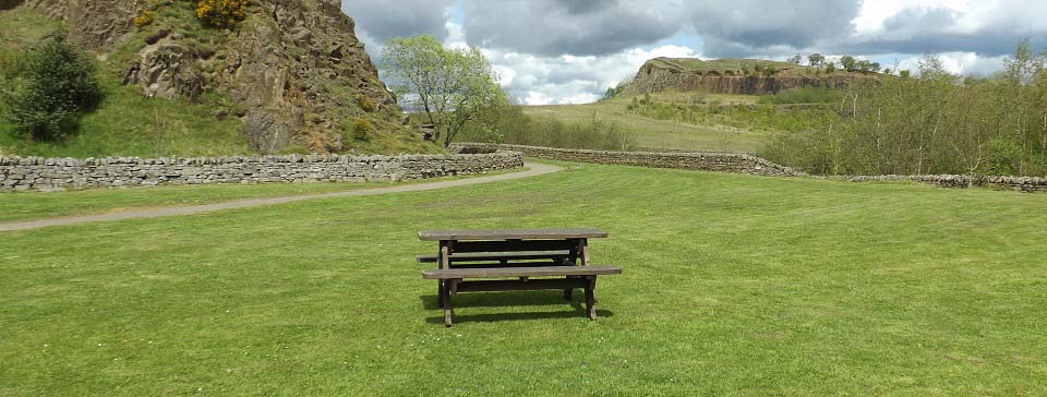
The image below is of a large seating
area just down past the visitor centre.
There are a few fairly level walks around
this area.
The path to Hadrian's Wall goes round to
the left, then leads over to the right,
where it leads up to the high point, along
the top of the cliffs.
|
|
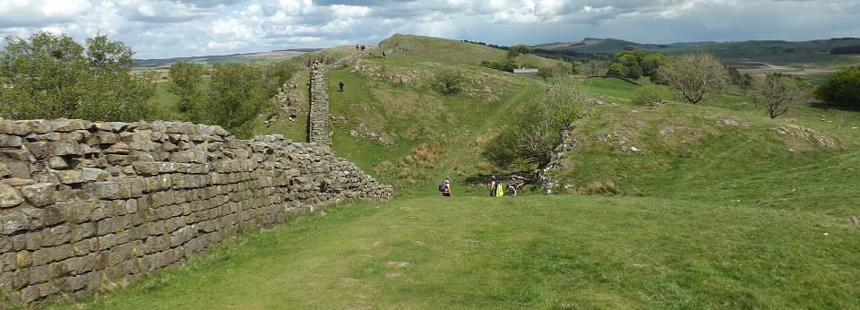
The image below is from the top of the
high point looking east towards Cawfield
Quarry 4 miles east, and Housteads Fort 9 miles east, the
top walking sections of Hadrian's Wall. You
can walk out there then get the Bus
back.
|
|
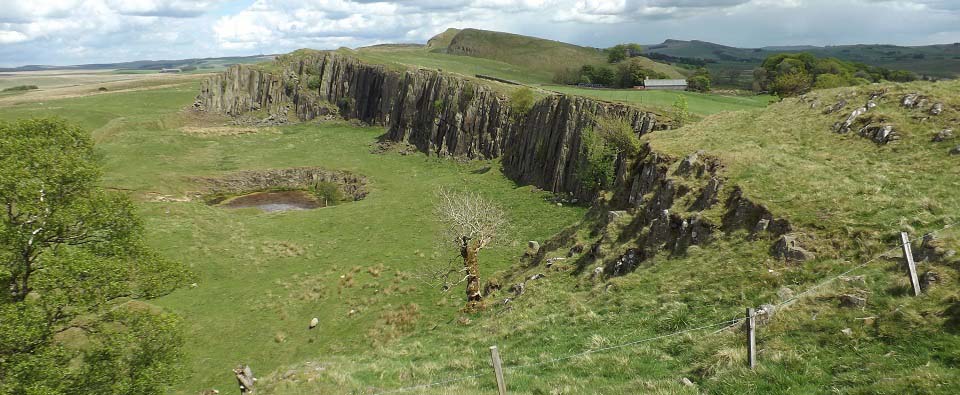
The image below is walking east, with
the two high points on this section in the
distance. Not sure if these are natural
cliffs, or if the Roman's took half the
hills for the wall and forts.
|
|
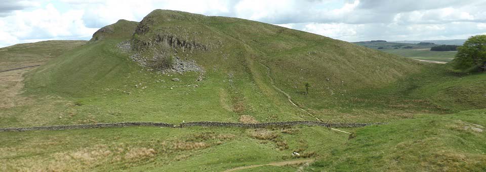
The image below is of the two high
points, a steep hike to the top, the
Walltown Quarry Hills.
|
|
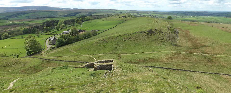
The image below is of from the top of
the hills looking back west towards
Walltown Quarry.
This is about half way between Walltown
Quarry and Cawfield Quarry. It is mainly
farm land from here to Cawfield Quarry.
The Hadrian's Wall
Bus runs between the quarries if you
want to walk all the way and get a lift
back to your car. I decided to head back
over this top section to see if I could get
better photos, as the cloud was clearing as
the day went on.
|
|
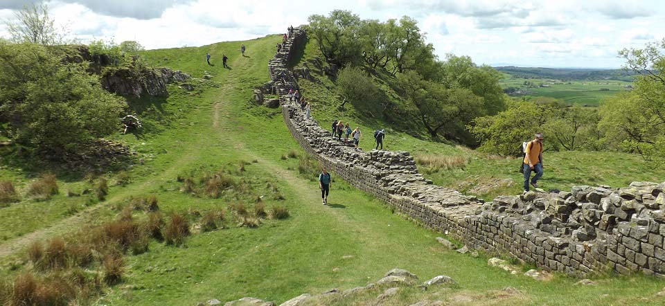
The image below is walking back to
Walltown Quarry, passing a school trip
enjoying the wall on this rugged section.
Large
Image.
|
|
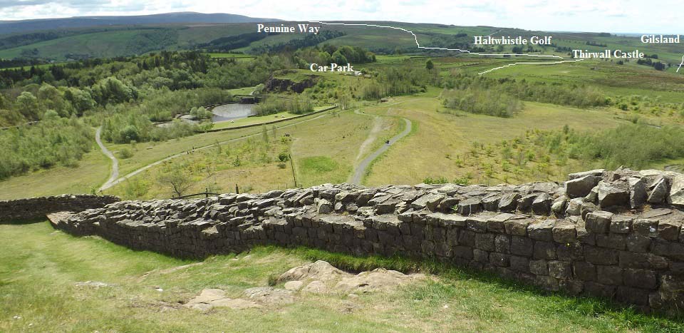
The image below is looking down to
Walltown Quarry. The white line there shows
Hadrian's Wall Path heading west to
Thirwall Castle about half a mile
down into a valley, the village of Gilsland
about 1 and a half miles past the Castle,
and Birdoswald Roman Fort 1
mile past Gilsland. The Gilsland to
Birdoswald section of the wall is also well
preserved, about 7 feet high in places,
also with a scenic gorge.
From Thirwall Castle, you have to cross
a footpath across the railway, walk down
the main road 200 yards past the entrance
to Haltwhistle Golf Club, then pick up the
well signed Hadrian's Wall Path to
Gilsland. That stretch is mainly an earth
mound, and also goes through someone's
front garden.
The Pennine Way joins the Hadrian's Wall
Path at Thirwall Castle. It goes south past
Haltwhistle Golf Club, be careful not to
take the wrong path.
Hadrians Wall at Gilsland Photo Tour
|
|
|